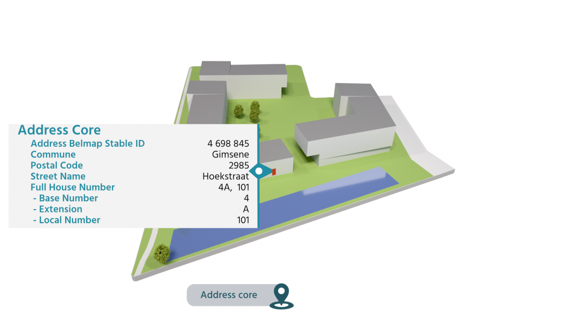
Precise address and location information is key as a means of ensuring that networks are managed effectively. Belmap supports utility companies in the strategic, operational and commercial management of their network.
Utility companies use Belmap to:
- determine the precise location and the number of connections
- analyse the cost, dimensions and locations of network modernisation and expansion
- perform smart grid analyses
- enable maintenance teams to work more efficiently

Master Address Management
Take care of customers, not addresses
All addresses combined in a single reliable source
Even though essential as a means of ensuring that your customer service, delivery, sales, marketing and logistics run smoothly, address management is often a real puzzle. Addresses are constantly changing, so an error can soon slip into your database and you may even have a variety of data sources in all sorts of formats.
Belmap integrates detailed address data from different sources on a daily basis. Plug your applications into Belmap and you will have reliable address data for Belgium, the Netherlands and Luxembourg at your fingertips at all times. Up to date, complete and accurate.
Network planning and design

Precise dimensioning of wastewater networks
Wastewater companies need to precisely locate the estimates of wastewater discharges in order to ensure that their sewerage network is of the correct dimensions. An up-to-date database of buildings, their locations and an estimate of the number of inhabitants is crucial in order to make an accurate prediction of water discharges.
By combining this data with detailed information about the capacity of public services (hospitals, nursing homes, schools, etc.) and the estimated number of employees per building, Belmap provides the most reliable information for the purpose of calculating the number of inhabitant equivalents per section. The same principles can also be applied to other utility network types.

The planning of fibre optic networks
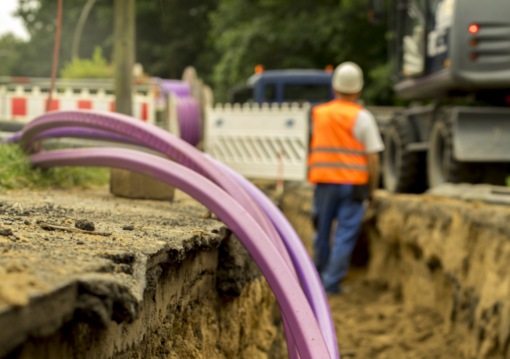
Telecom providers rolling-out fibre optic networks aim to minimise their construction costs. By using Belmap address, building (geometry, gutter height, cultural heritage protection status, etc.) and cadastral parcel data, providers know exactly where cables can be attached to the façade and where they need to be trenched.
Belmap's landcover map and gardens data modules provide a clear picture of the trenchability of the soil and enable construction costs to be estimated more accurately. The same goes for other utility network providers.

Wave propagation modelling
With the roll-out of 5G, telco companies need to modernise and expand their networks. The quality of the network coverage is key in order to ensure a flawless customer experience. To understand where and what investments are required, mobile network operators use radio planning optimisation platforms and running wave propagation models to achieve accurate coverage simulations.
Belmap and GIM’s landcover product allows telecommunications companies to supply those wave propagation models with the most accurate terrain, landcover and 3D building data. In addition, Belmap provides an indication of the degree of insulation in a building, based on the age of the building itself and on the position of metallic roofs.
Trusted by


Make our data work for you

The most complete
location data source
in the Benelux

Automated
daily updates

Stable identifier
for every building
and address

