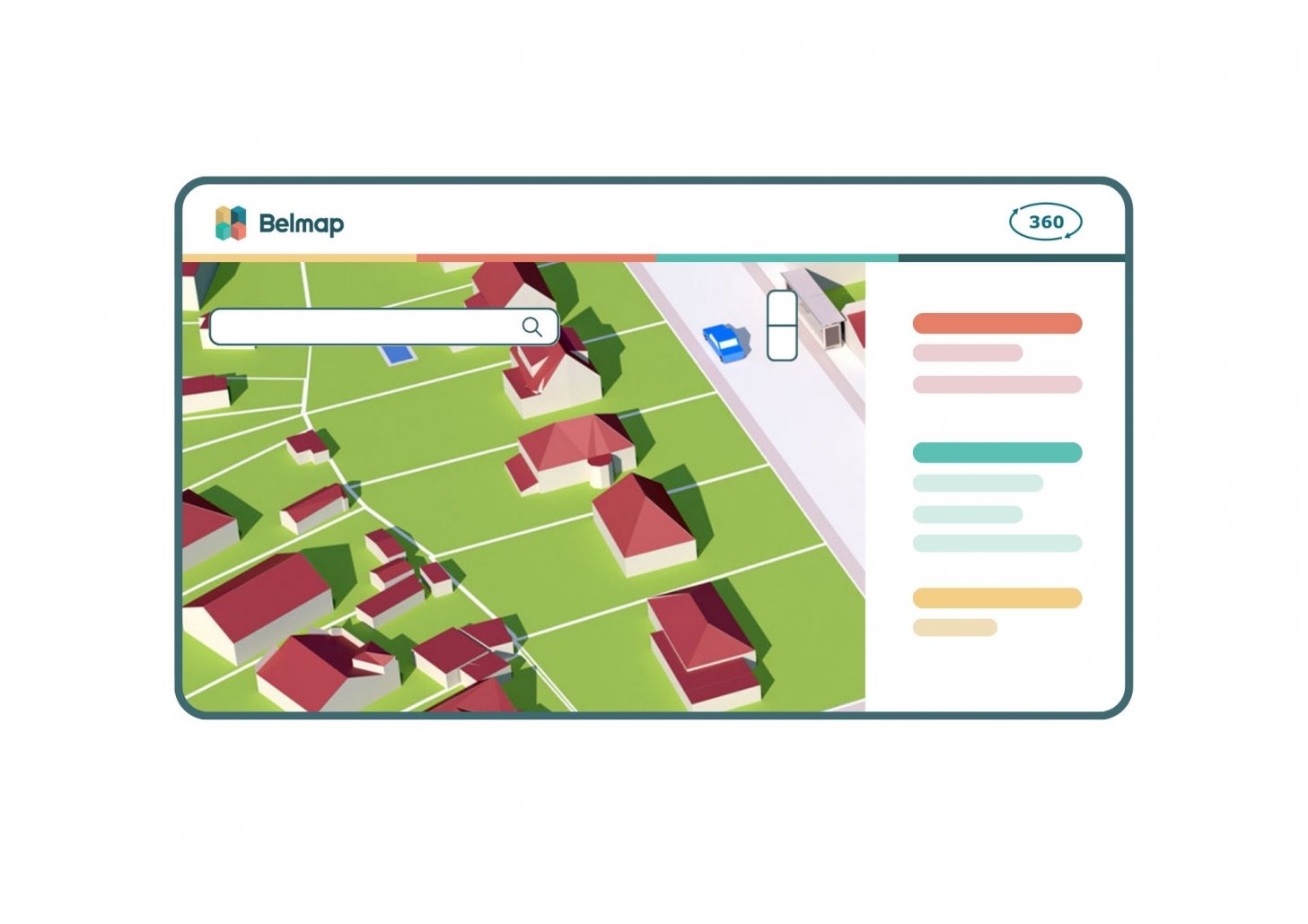
GIM, the leading provider of comprehensive location data solutions announces the launch of Belmap 360. This innovative platform empowers users with advanced visualization tools and accurate property data, revolutionizing the way businesses analyze their surroundings and assess potential risks.
Belmap 360 is a cloud-based platform that brings location data to life, offering users a seamless experience in visualizing, combining, and analyzing data from Belmap and various other sources. With its user-friendly interface, Belmap 360 enables individuals to gain clear and reliable insights into properties and their immediate surroundings, both in 2D and 3D formats.
No longer will valuable time be wasted manually reviewing and integrating data from multiple sources. Belmap 360 provides a single point of access to fine-grained and accurate property data from Belmap, including building, parcel, and address information from Belgium, the Netherlands, and Luxembourg. Users can effortlessly inspect a wealth of quality data, ensuring efficiency and precision in their decision-making processes.
Advanced visualisation, data inspection and data analysis
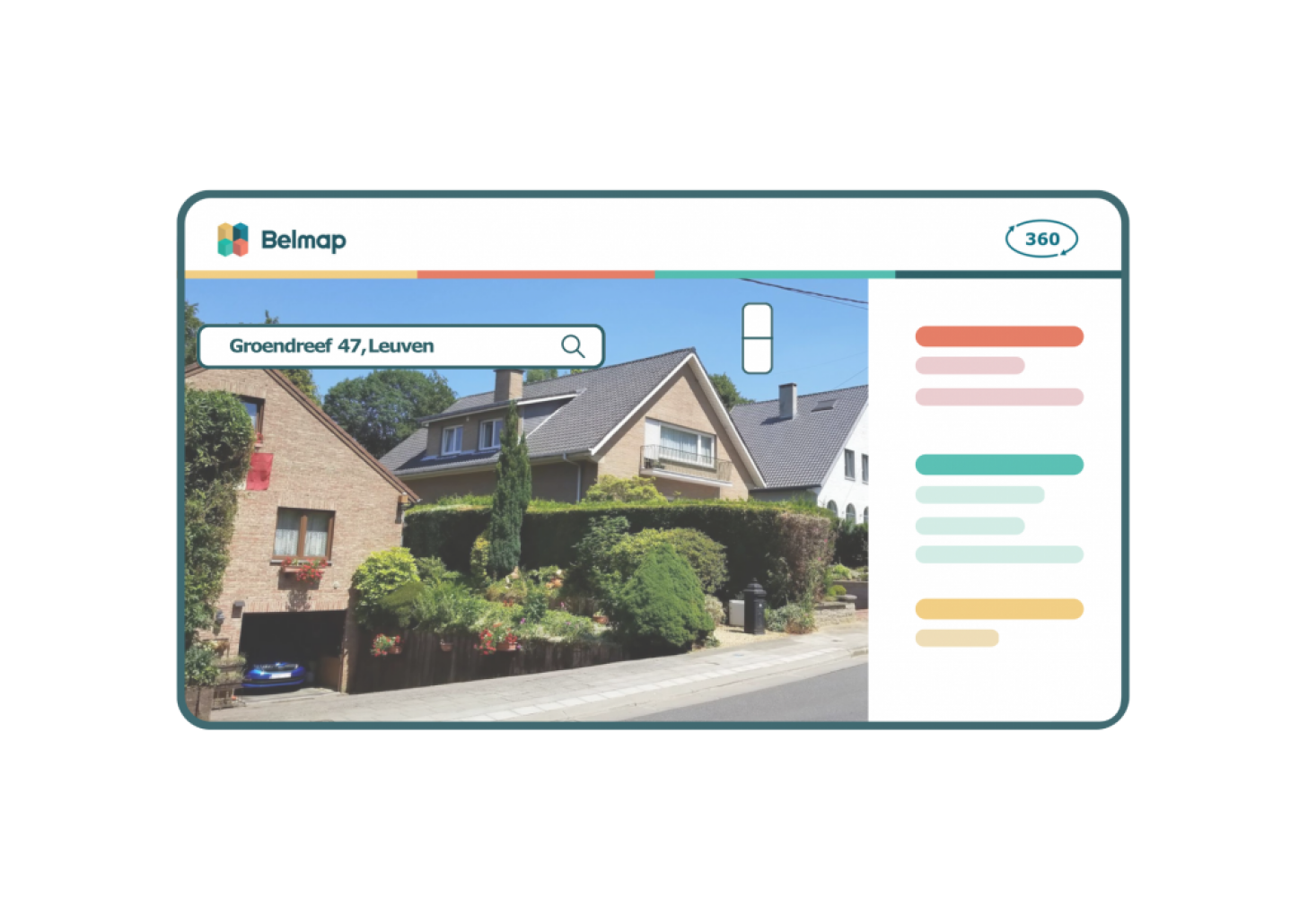
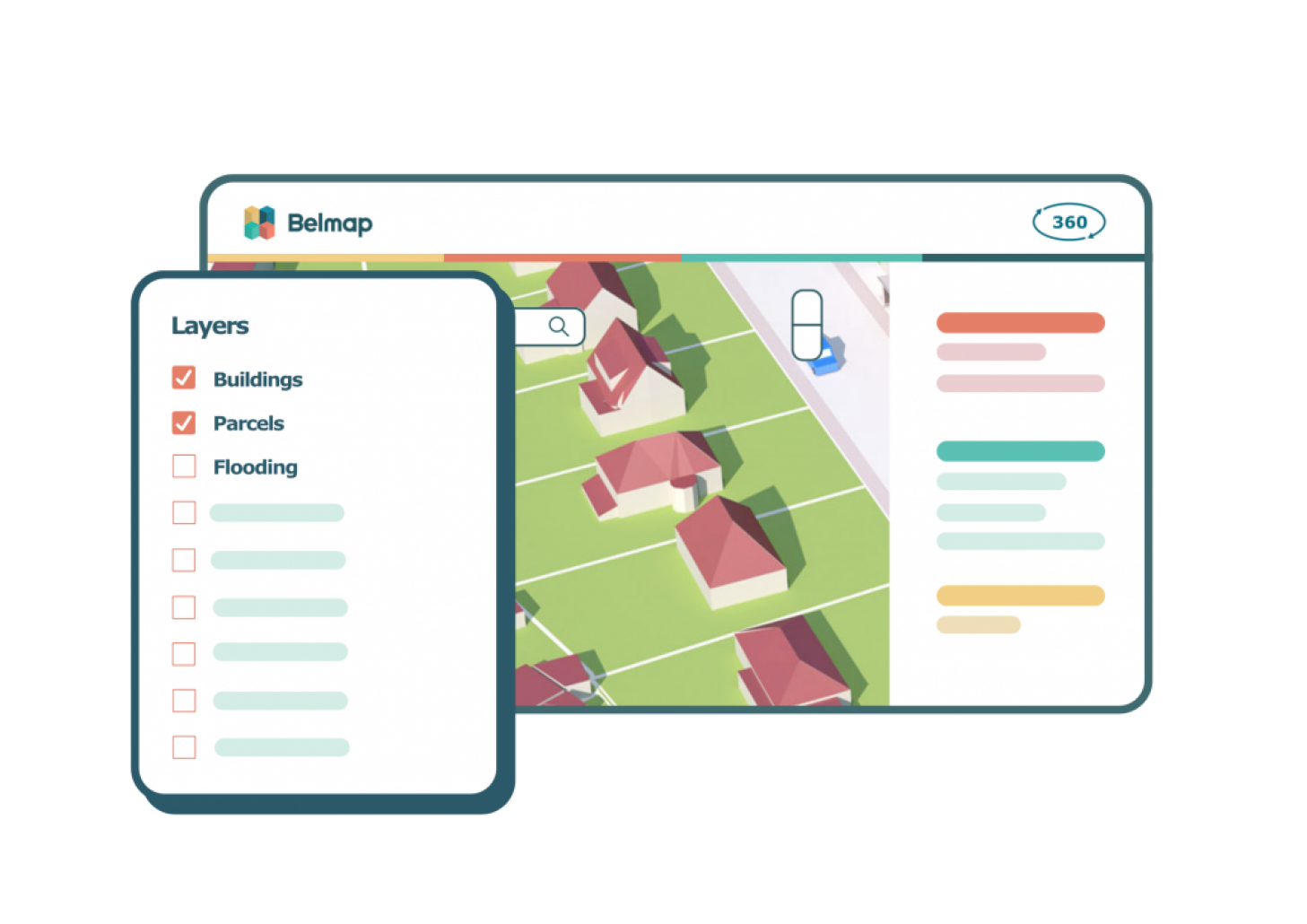
Performing in-depth 360° spatial analysis has never been easier with Belmap 360. Equipped with advanced data inspection and analysis tools, users can view maps in 2D, 3D, or switch to street view, enabling them to make informed selections and explore various available layers. Belmap 360 allows for a comprehensive analysis of an object's surroundings, offering valuable insights for businesses across multiple industries.
Tailor made
Furthermore, Belmap 360 allows users to gather additional custom insights tailored to their specific needs. By creating a personalized environment and leveraging third-party APIs from preferred partners, businesses can access supplementary information that enhances their understanding of the location and its potential.
 |
 |
